South Africa - Western Cape. November 2022
2. Cape Peninsula B - Simon's Town and Cape Point.
Simon's Town
Having had several visits to the Cape Peninsula I decided that Simon's Town would be a good place for us to stay for a few nights. The hardest part was finding a place with had a parking area big enough for our bakkie as it is too long to fit in an ordinary garage. We spent 5 nights in a comfortable first floor apartment with views over False Bay and within walking distance of Seaforth beach and the well-known Boulders Beach Penguin colony.
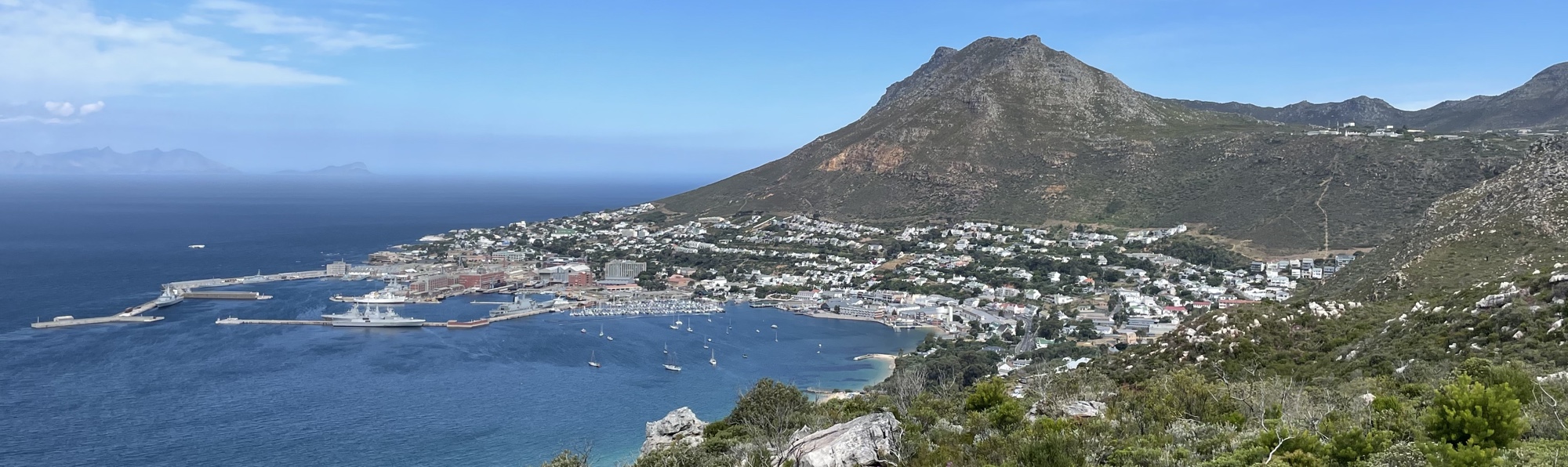
Simon's Town is a long narrow town between False Bay and the mountains and is home to the South African Naval Base.
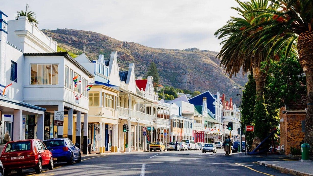
Many of the old houses along the main street in Simon's Town retain their historic character.
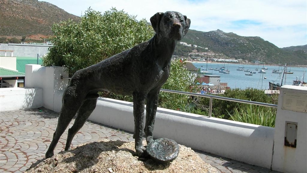
The Just Nuisance Statue overlooking Simon's Town harbour. It was erected in 1985 to commemorate the Great Dane that served in the Royal Navy during World War 2.
South African Naval Museum.
It was great to see that this museum has been kept in good condition and, since our last visit, has been extended to include a new building with a variety of exhibits.
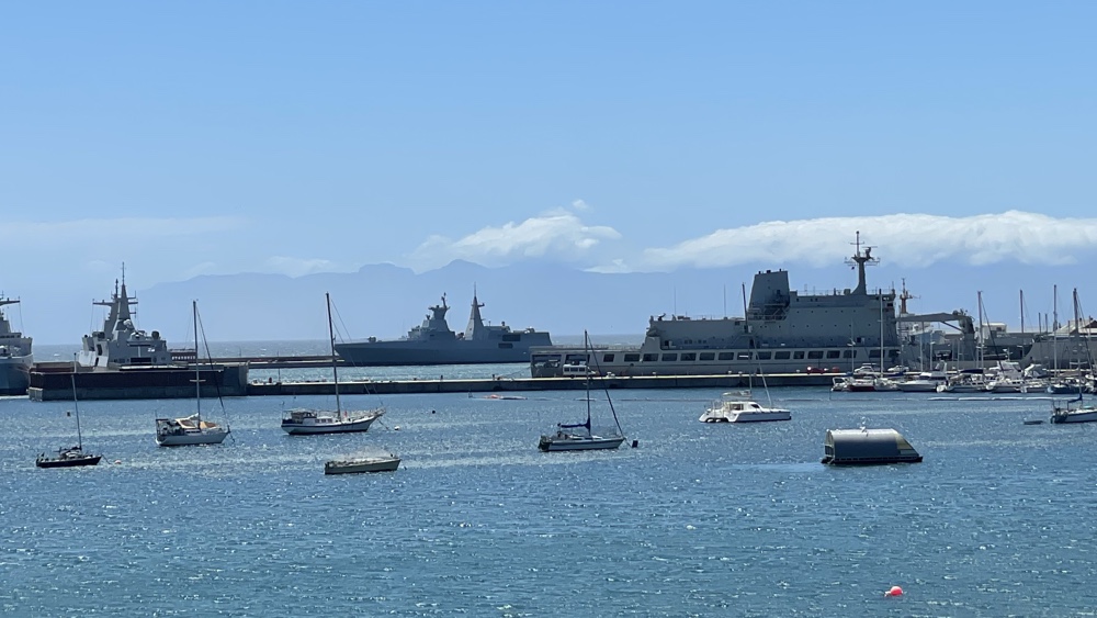
A view of the lesiure harbour with the naval in the distance.
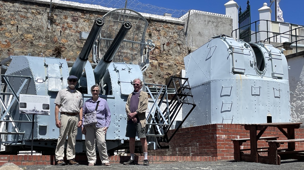
Di, David and Kevin next to some of the outside exhibits.
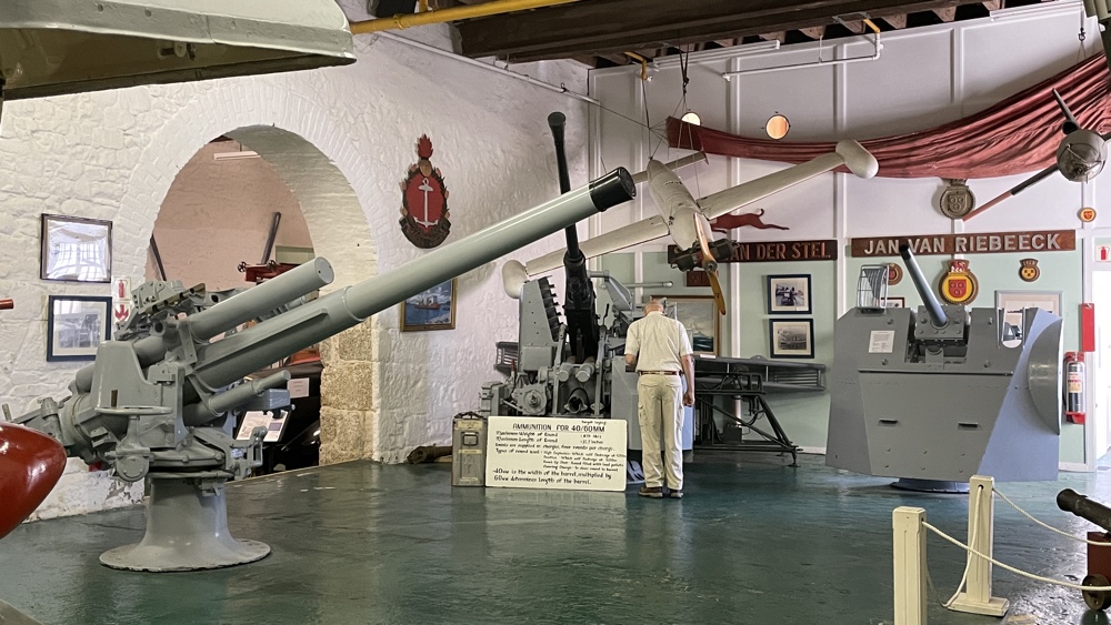
There are several rooms dedicated to different aspects of navy life.
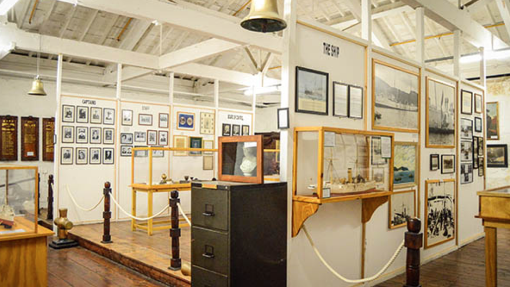
Part of the new museum building.
Penguins
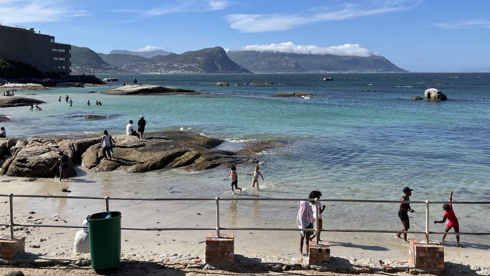
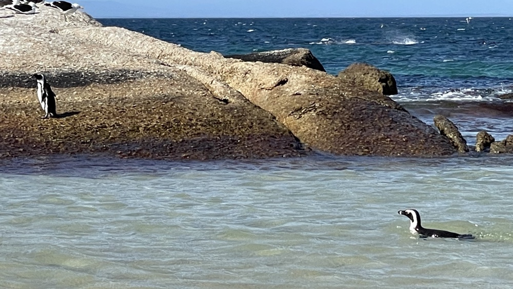
Seaforth Beach on a sunny Saturday afternoon. There were several penguins on a rock at the far end of the beach and a few swimming in the sea quite close to people.
Boulders Beach is where a colony of African Penguins (which used to be known as Jackass Penguins because of their distinctive braying) live. We didn't pay to go into the main colony but did walk along the boardwalk next to the complex.
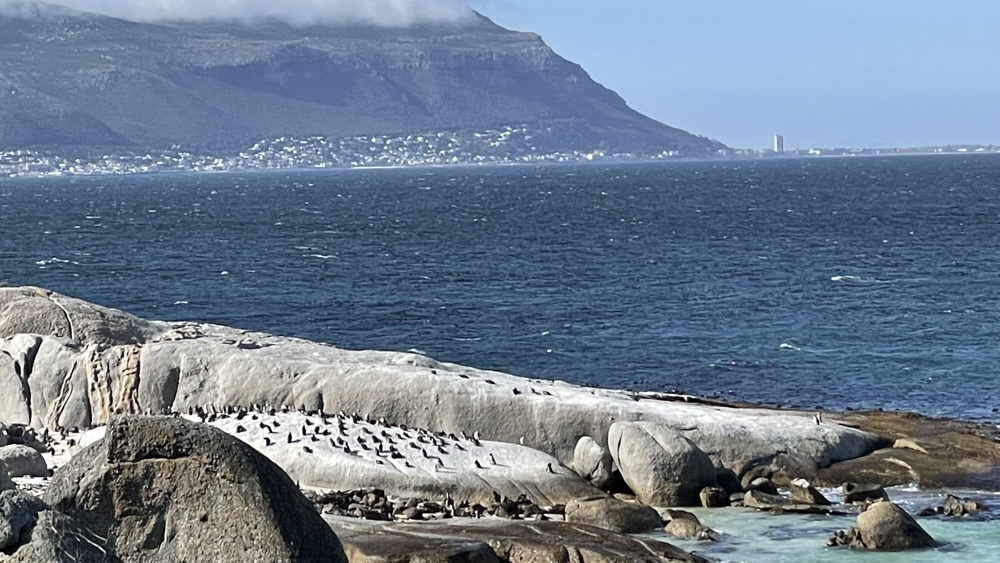
Lots of penguins on the rocks at Boulders Beach.
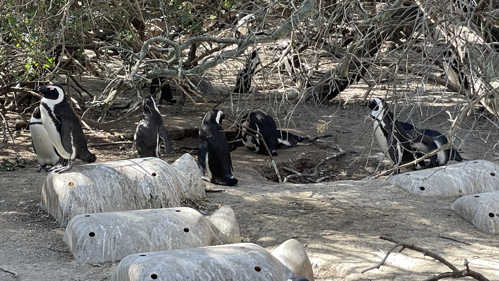
Penguins near nests that have been provided for them.
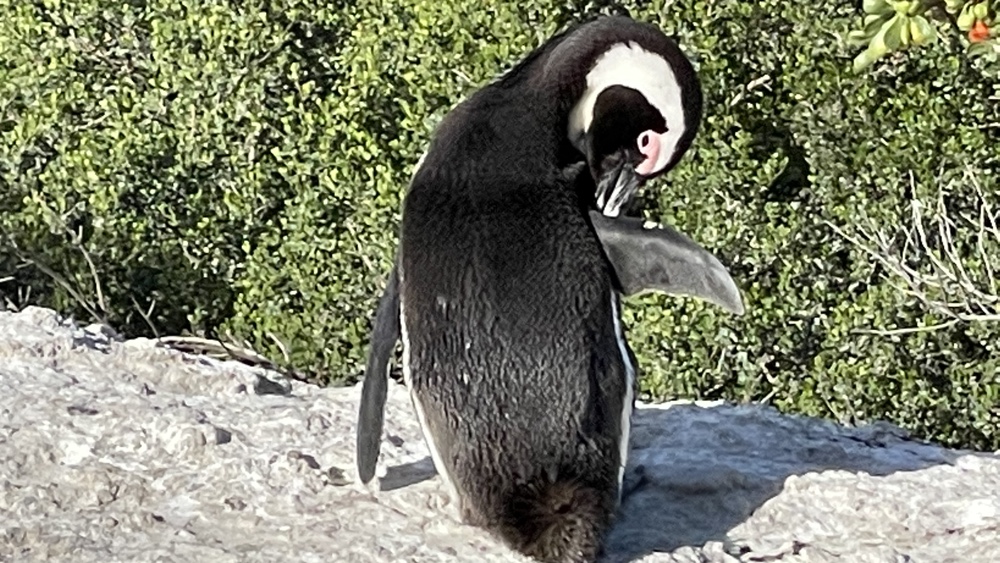
A nice close up right next to the fence.
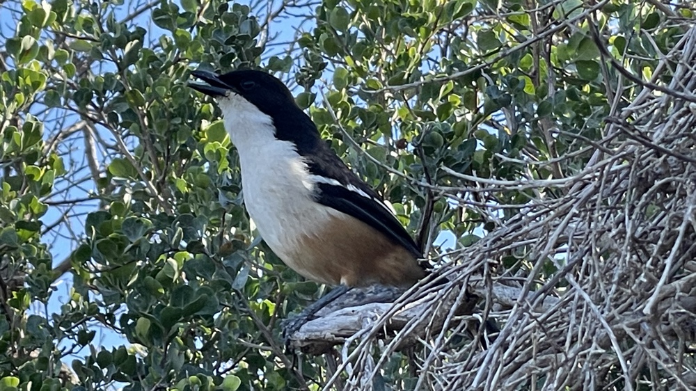
We were serenaded by this Burchell's Coucal along the path.
Cape Point Nature Reserve
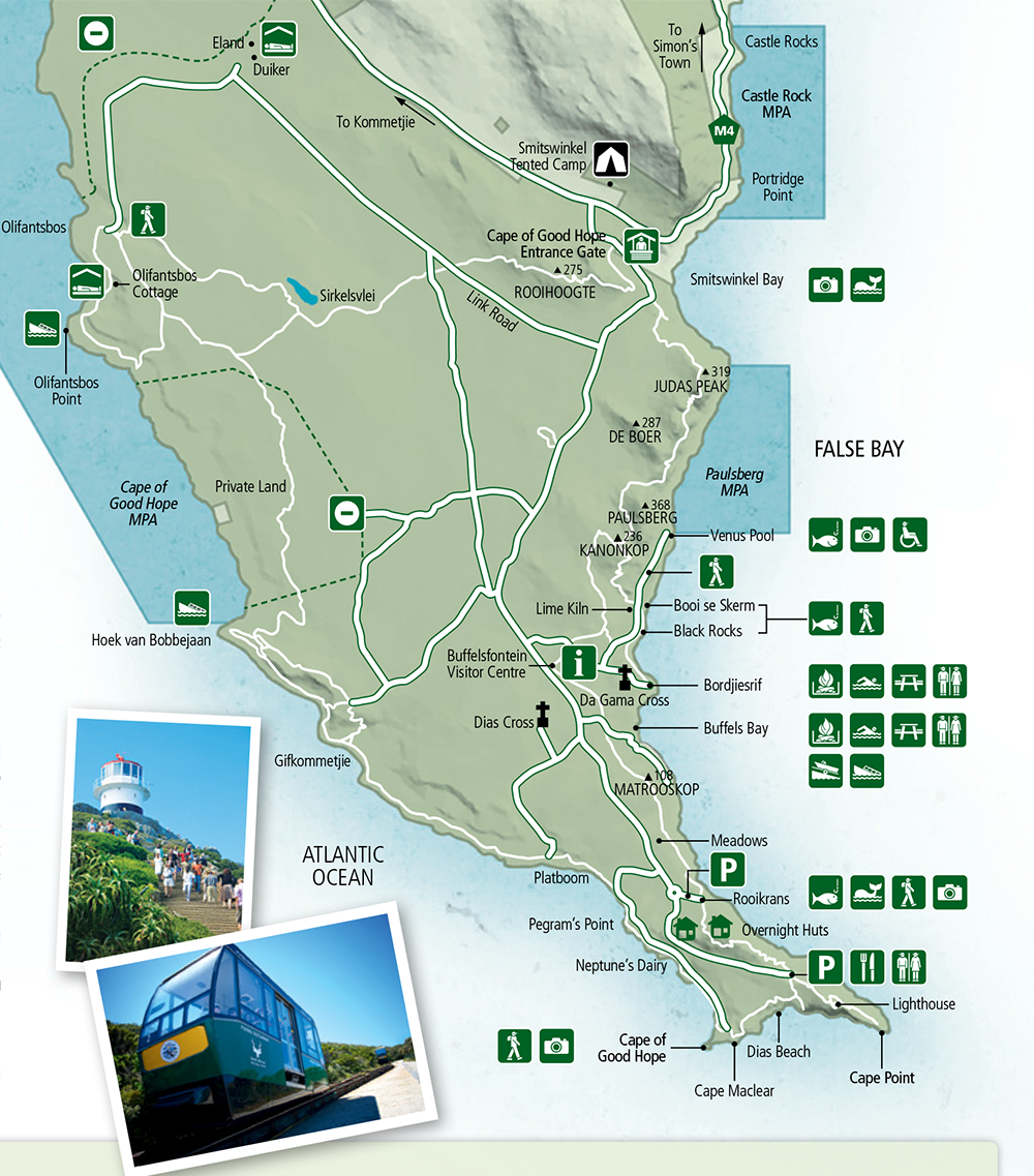
This map is from the Cape Point brochure and shows just how much there is that can be done there. We spent a day visiting a few of the main areas - Cape Point, the Cape of Good Hope, the Bufflesfontein Visitors Centre and a couple of beaches.
We had great weather with sunny skies and not too much wind.
The Cape of Good Hope is the most South-Westerly point in South Africa (the most Southerly point is at Cape Agulhas) and is where the warm Agulhas current, which flows down the East coast of South Africa, meets the cold Benguela current which comes from the Antarctic and flows up the West coast of South Africa. These currents are why the seas on either side of the Cape Peninsula are so different in temperature.
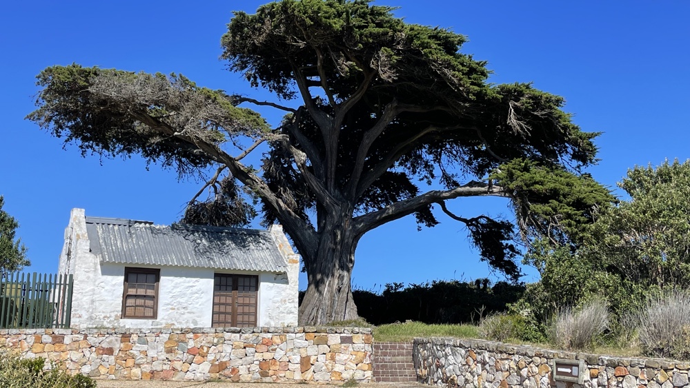
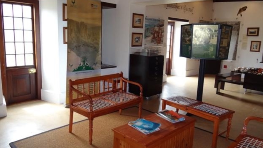
Bufflesfontein Visitors Centre
This was originally a 'farm', and primarily produced lime by burning seashells which were found on Buffelsfontein beach. There is plenty of informative information about the area, flora and fauna.
Cape Point
We took the Flying Dutchman funicular from the car park to the top, then walked up the steps to the lighthouse. We then followed the path down back to the car park with a great view all around.
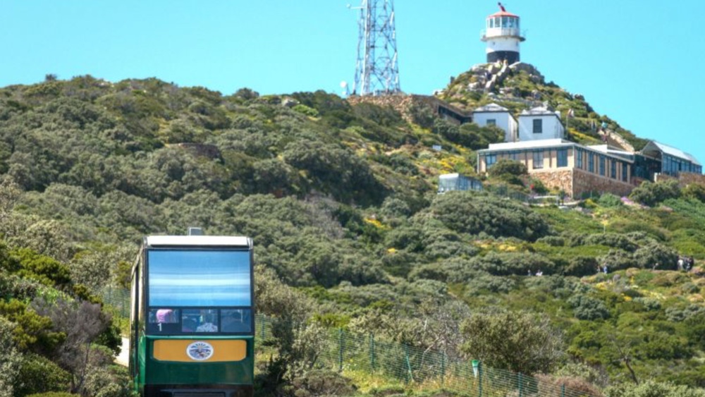
The funicular rail car with the lighthouse at the top of the hill.
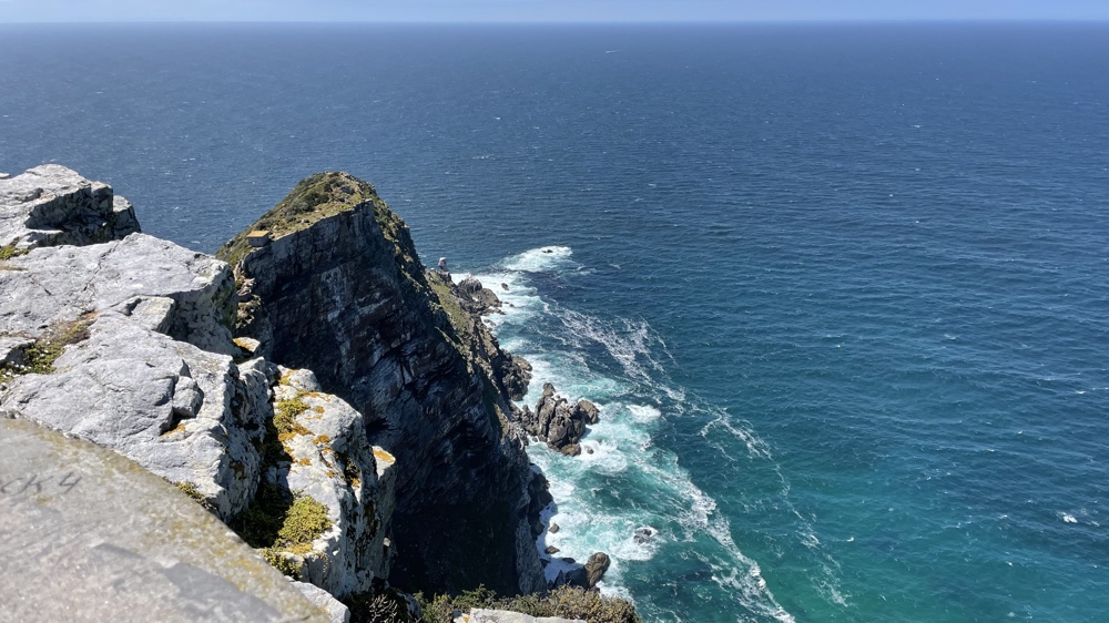
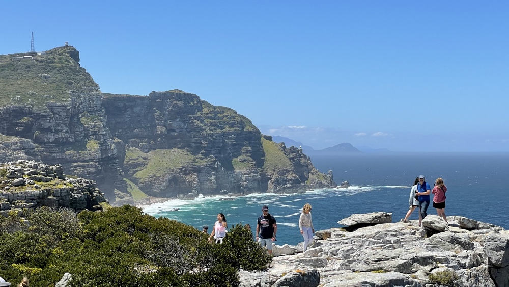
Looking south-east to the rocks below the lighthouse.
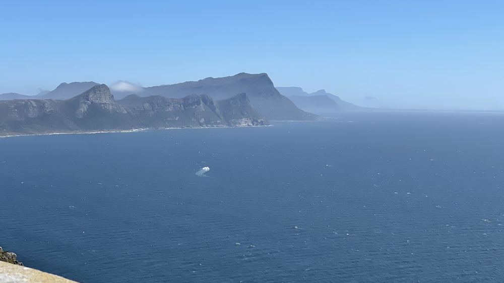
The east coast of the peninsula.
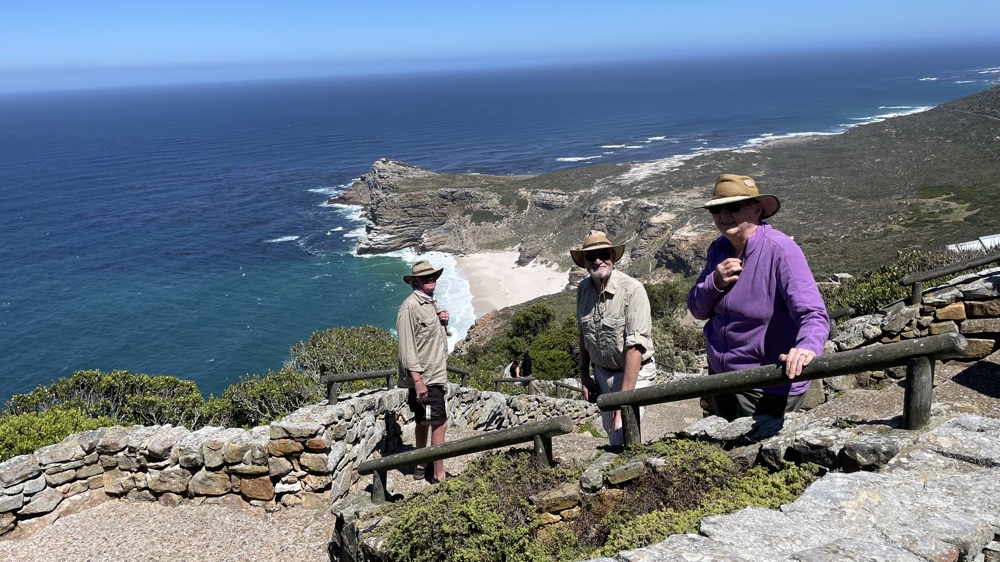
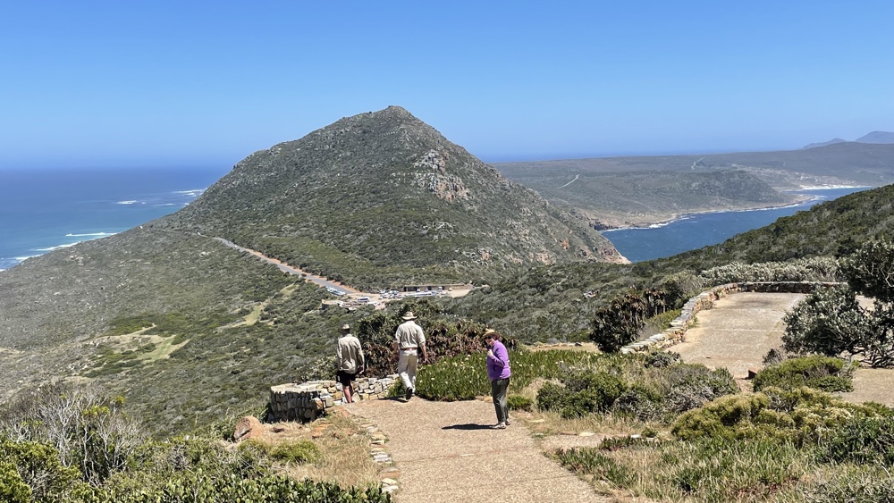
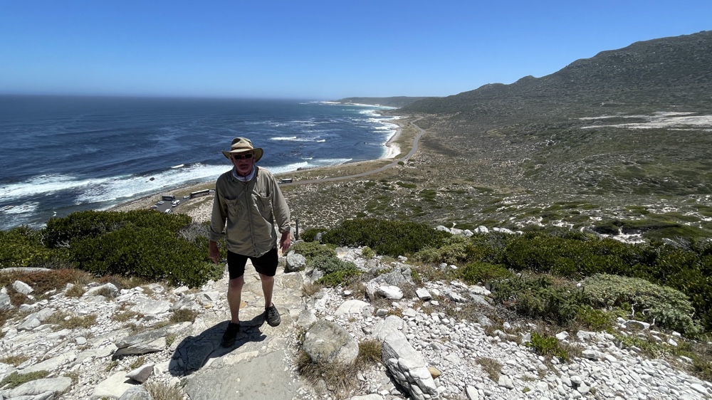
On our way down with a view of the Cape of Good Hope.
The sea on either side of Cape Point.
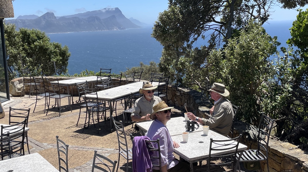
Coffee at the cafe at Cape Point.
The Cape of Good Hope
There is a walking trail from Cape Point to the Cape of Good Hope but we decided to drive. It was quite busy with a few coaches and lots of cars but we were able to park and then David, Kevin and I followed the path uphill to a couple of lookout points.
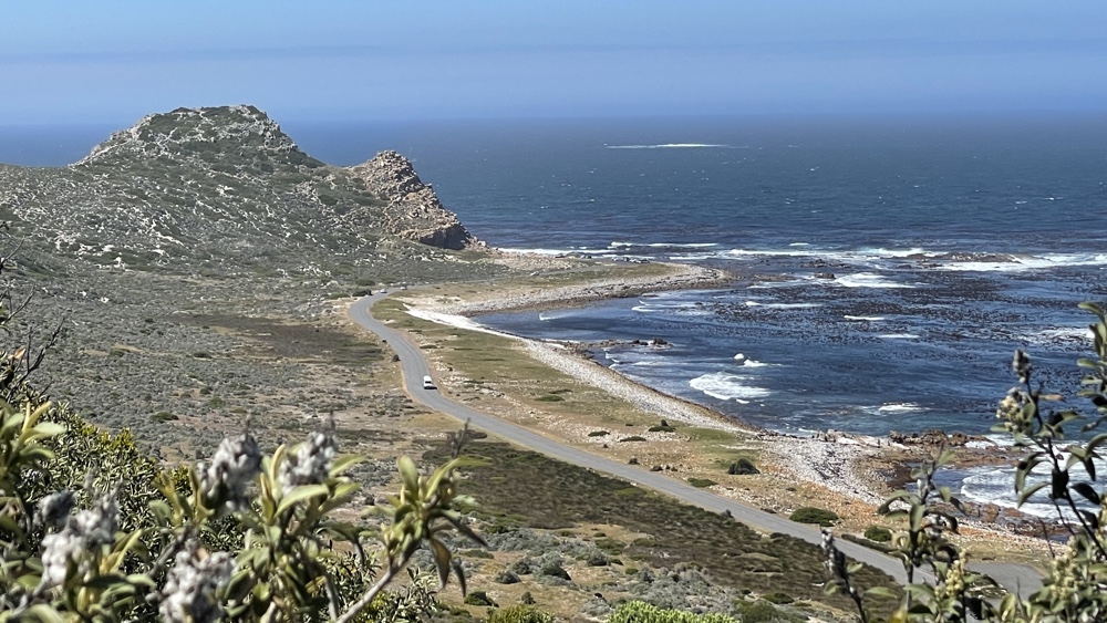
The road down to the Cape of Good Hope.
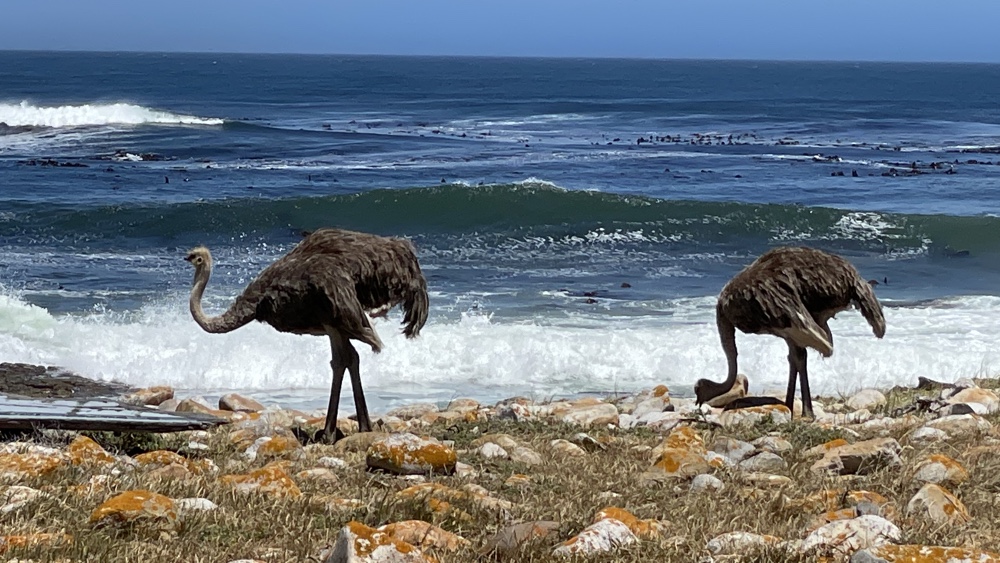
A couple of ostriches along the shore line.
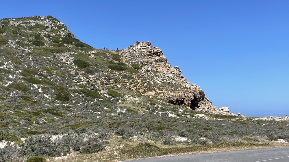
Cpe of Good Hope. We walked up as far as the level area where you can see several people.
On our way up with Maclear beach in the background.
Looking towards Cape Point.
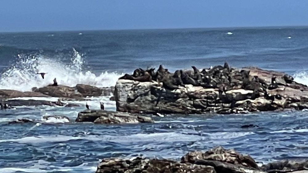
Seals and cormorants on the offshore rocks.
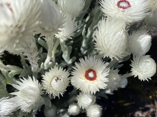
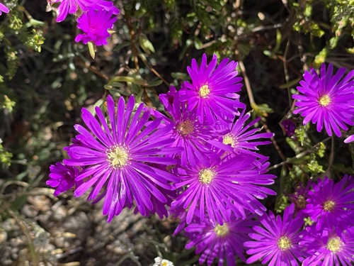
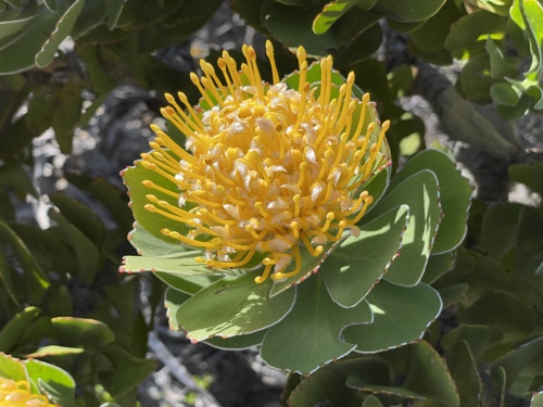
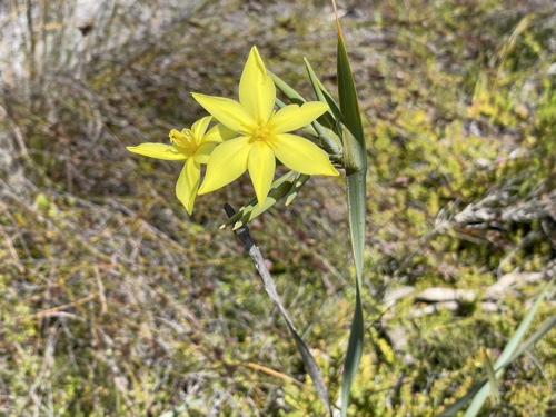
Flowers
As we were driving around I would get Kevin to stop so that I could get out and have a closer look at some of the flowers that we passed.
Platboom Beach
We drove around to car park near the beach, which is on the Western side of the Peninsula, and had our lunch there (we'd brought snacks with us). As we arrived we saw a group of buck on a sandy area near the beach and watched then as they made their way back up the hillside until they disappeared from view. We then went for a walk along the beach.
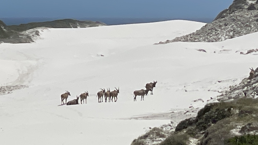
Part of the group of buck on the sand.
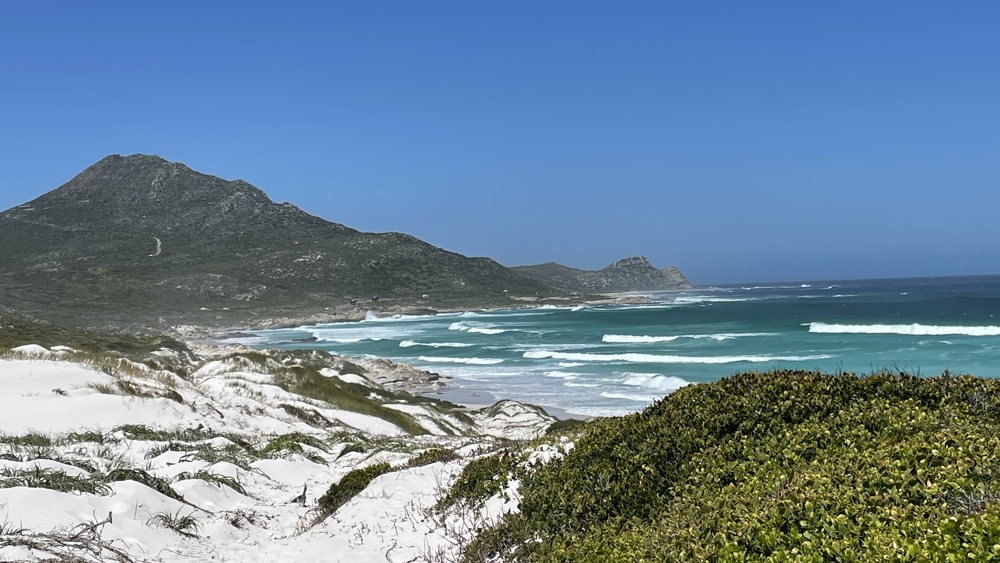
Looking south-east towards the Cape of Good Hope.
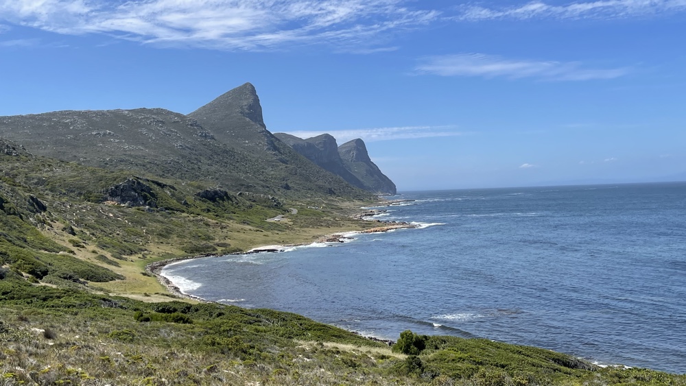
Bordjiesrif
This is on the other side of the Peninsula and was much more sheltered - we'd have been better having our lunch here! There are plenty of picnic areas and a tidal pool. We had a short walk around enjoying the magnificent views.
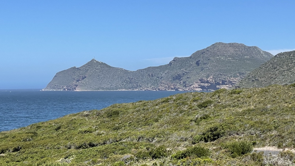
Looking north toward Black Rocks.
Cape Point to the south-east.
Last updated: May 2023