South Africa - Western Cape. November 2022
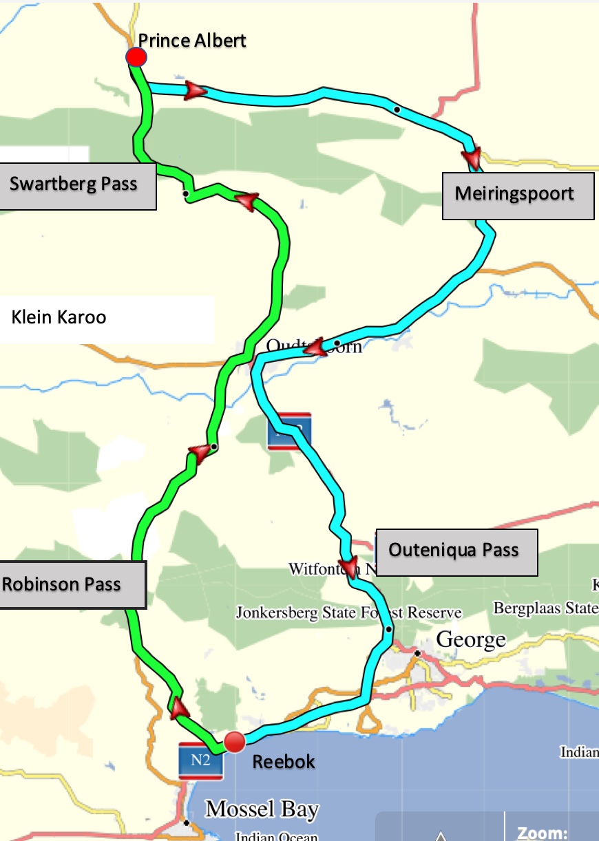
5. Mountain Passes and Poorts. Robinson Pass, Swartberg Pass, Meiringspoort and Outiniqua Pass.
Passes and Poorts
I tend to think of a Pass as being a road or track which goes over a mountain, however I have discovered that in South Africa a Pass can also have other meanings. For example the Seven Passes gravel road between George and Knysna is so called because it crosses seven rivers. A Poort (Afrikaans for Gateway) is "a steep narrow mountain pass, usually following a river or stream."
Althought I have only listed 4 Passes/Poorts we did in fact drive over several other smaller ones.
Our Route
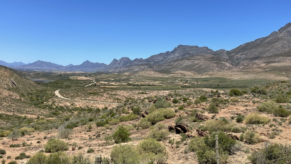
From Reebok we drove over the Robinson Pass into the Little (Klein) Karoo and then over the Swartberg Mountain range into the Great (Groot) Karoo where we stopped overnight in Prince Albert. On the following day we drove back through Meiringspoort, which follows the Grootrivier through the mountains, and then down the Outeniqua Pass to George before returning home.
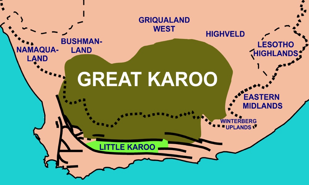
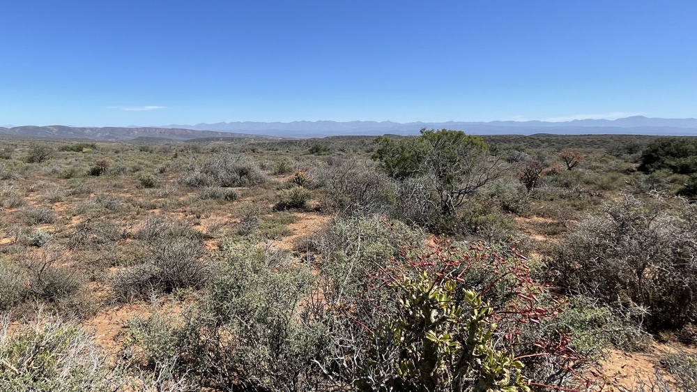
The Karoo covers a large part of central South Africa and is a semi-arid area. The Groot Karoo is a huge semi-desert region of more than 400,000 square kilometers stretching over the provinces of the Eastern, Northern and Western Cape. The LIttle Karoo is a long narrow valley bounded by mountains to the north, south and west.
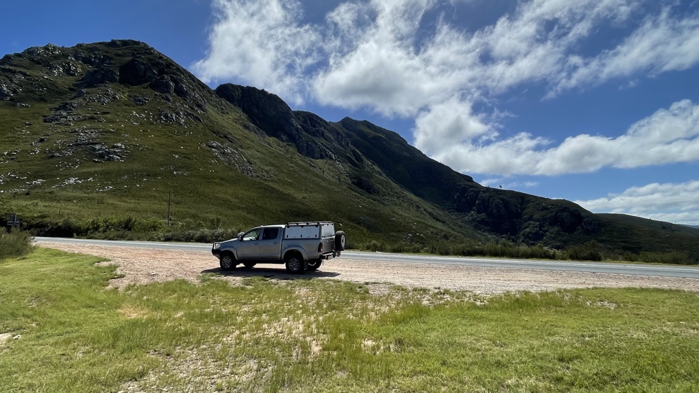
The Robinson Pass
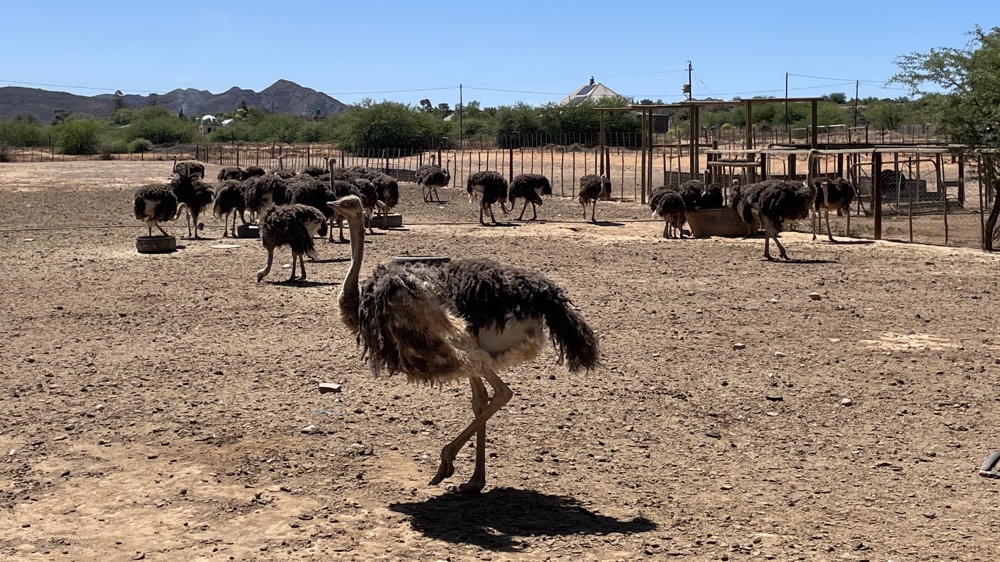
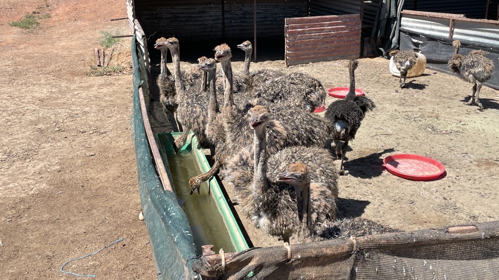
This Pass links the coastal town of Mossel Bay to Oudtshoorn which is well known for its ostrich farms and the Cango Caves.
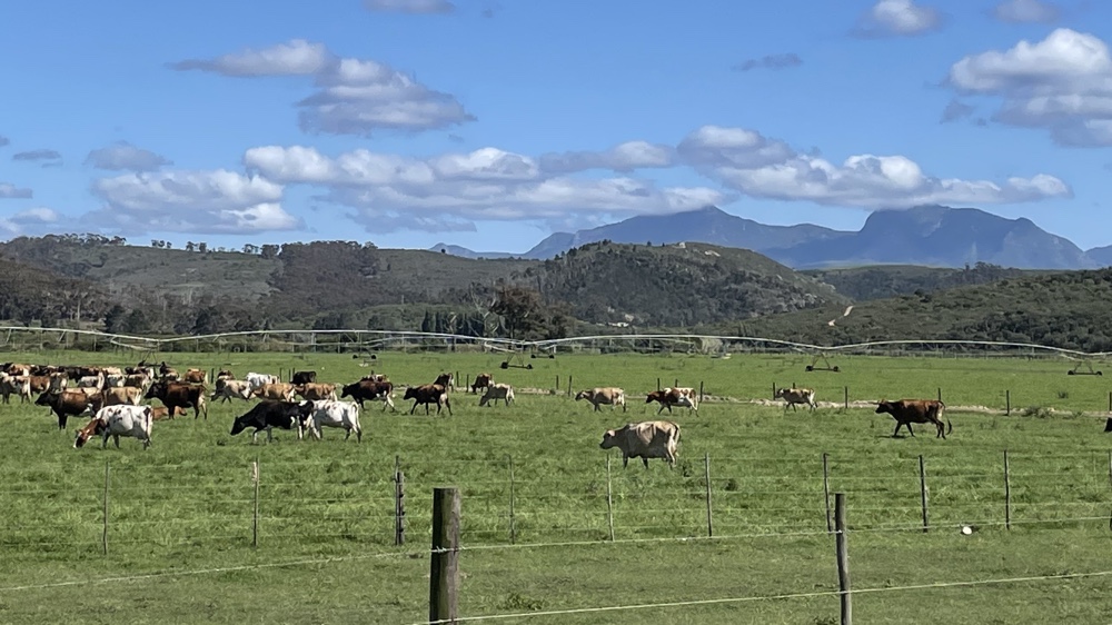
The vegetation is very different either side of the Pass. To the south there is considerably more rainfall so there are more trees and large bushes. There are some huge dairy farms, the cows can live outside all year and many of the fields are irrigated to allow the grass to grow. As you drive up the Pass the vegetation becomes more sparse.
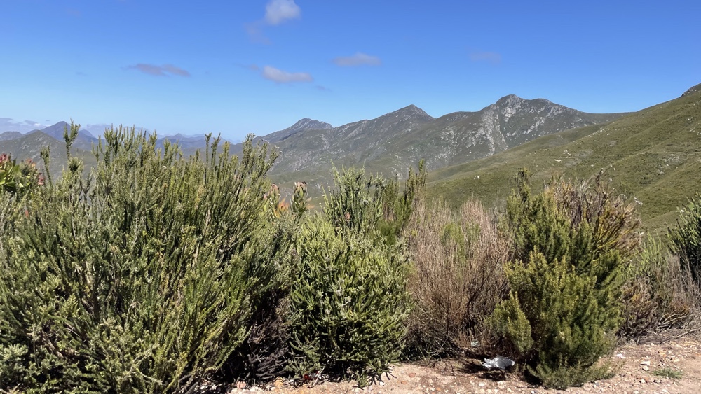
At the top of the Pass the trees and shrubs give way to grassland.
Once over on the northern side of the mountains you drop down into the Little Karoo where the vegetation is much more sparse. Here the farms are mostly of sheep or ostriches.
We stopped at a couple of ostrich farms. We didn't bother with the tours but did enjoy looking around the places and the shops.
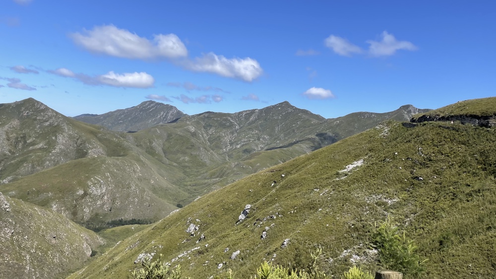
Swartberg Pass
This has to be one of the top South African Passes. It's a 27km long gravel road over the Swartberg mountains between Oudtshoorn and Prince Albert. It was built by convicts who were supervised by the great road designer Thomas Bains. He walked and rode the pass hundreds of times, directing the convicts in laying the dry stone walls which act as support for the road as it winds up and down.
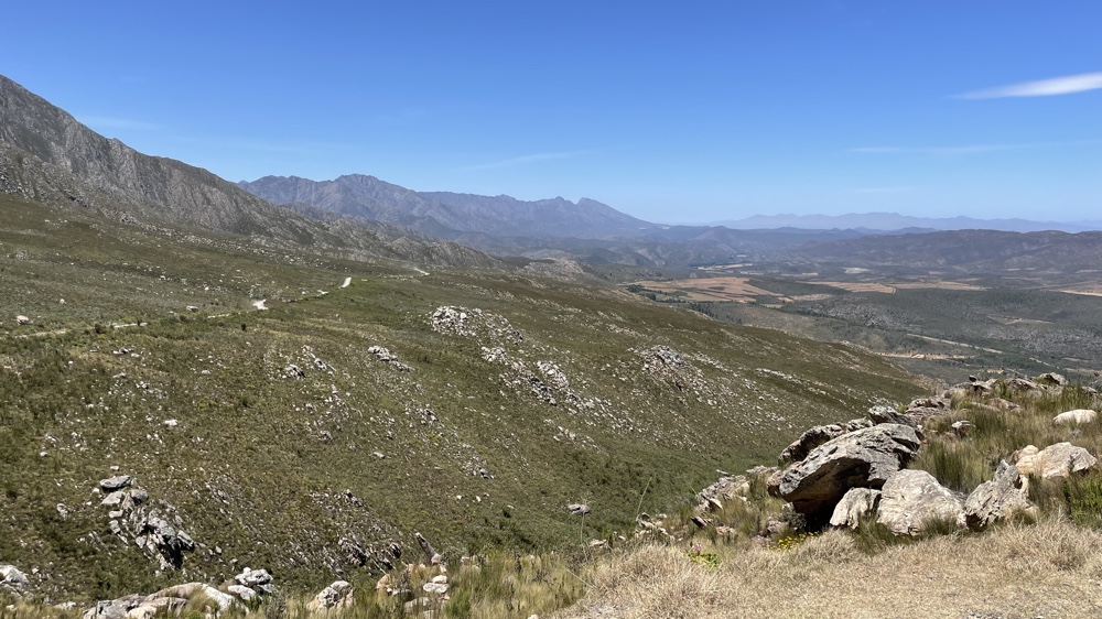
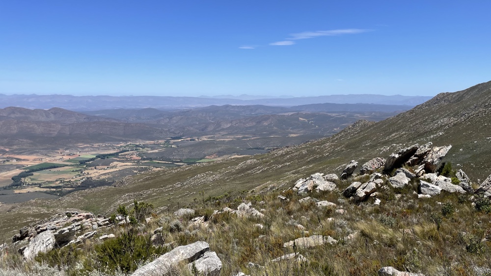
Once on the gravel road we let our tyres down, for a more comfortable ride. There are quite a few places where you can stop to admire the view and the quality of the workmanship of the builders. From the bottom of the Pass you can just about trace the road as it climbs the mountains to the summit which is 1575m above sea level.
Two views looking back to the LIttle Karoo from the Pass.
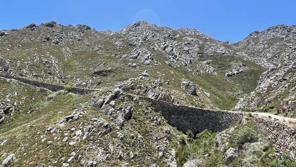
One of the dry stone walls built in 1888 and still in great condition.
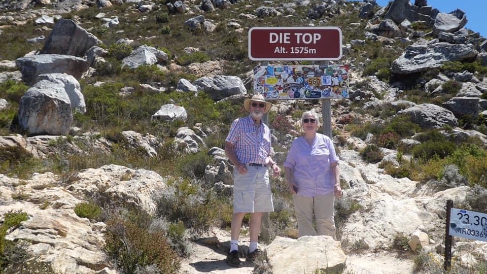
Di and David at the top of the Pass.
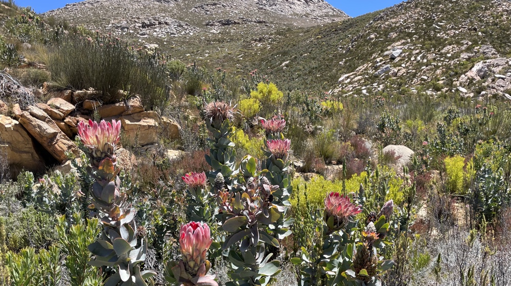
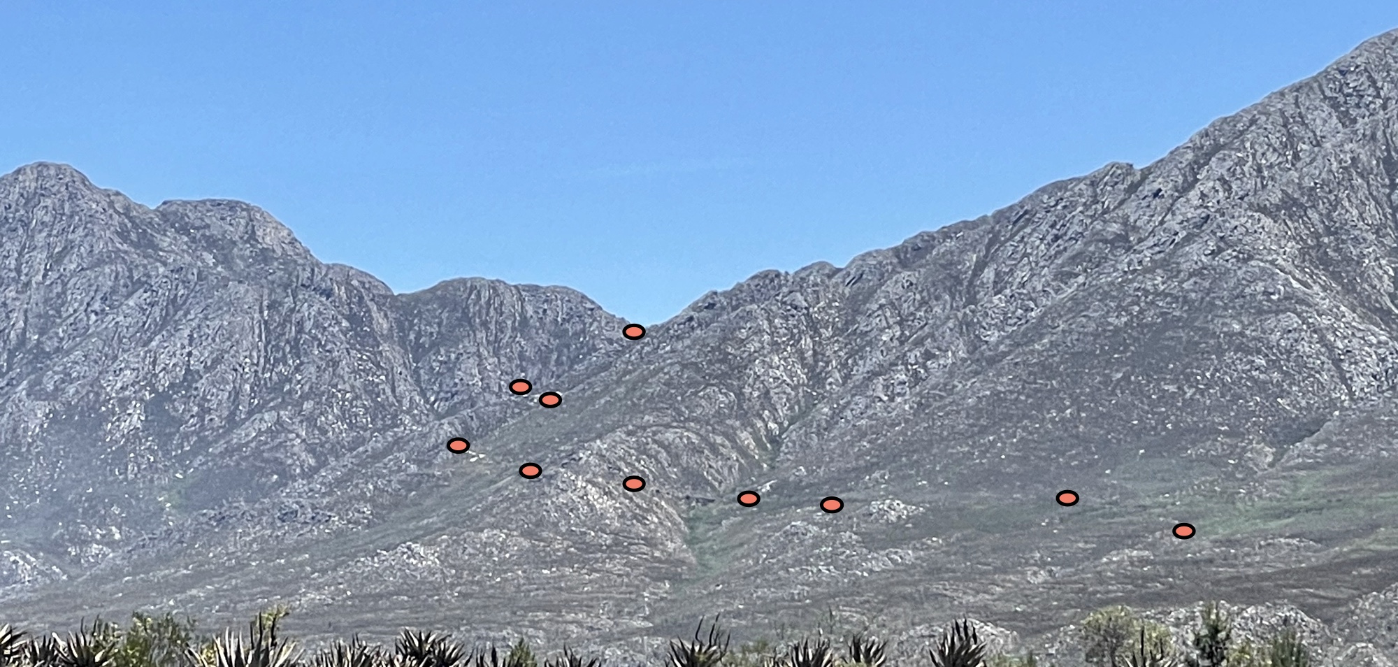
It was lovely to see proteas in flower near the top.
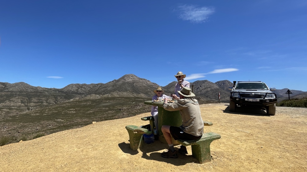
Lunch stop.
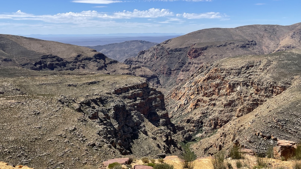
This is the view looking north - the road goes along the left hand side of the photo before heading down into the valley.
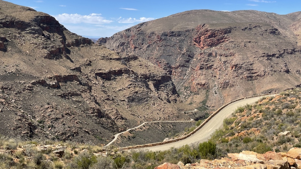
A steep road with plenty of switchbacks on the way down.
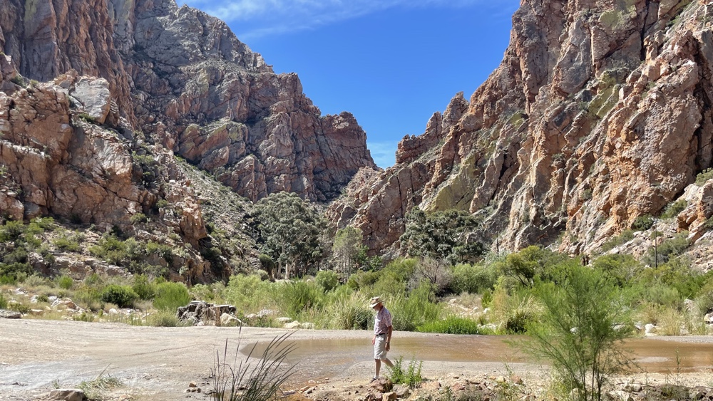
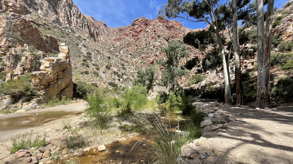
Once down the bottom of the valley the road follows and then crosses a stream.
Prince Albert
This is a lovely little town with a long main street with some lovely old buildings, a variety of shops, cafes and plenty of accommodation.
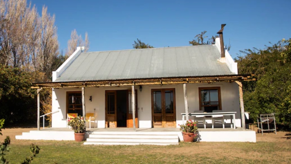
We stayed at Accacia Cottage, a very comfortable self-catering cottage.
Kevin and I have camped in and around Prince Albert a couple of times and enjoy the peaceful surroundings. On reflection it would have been better to have stayed for a couple of nights so that we could have shown Di and David a bit more of the area.
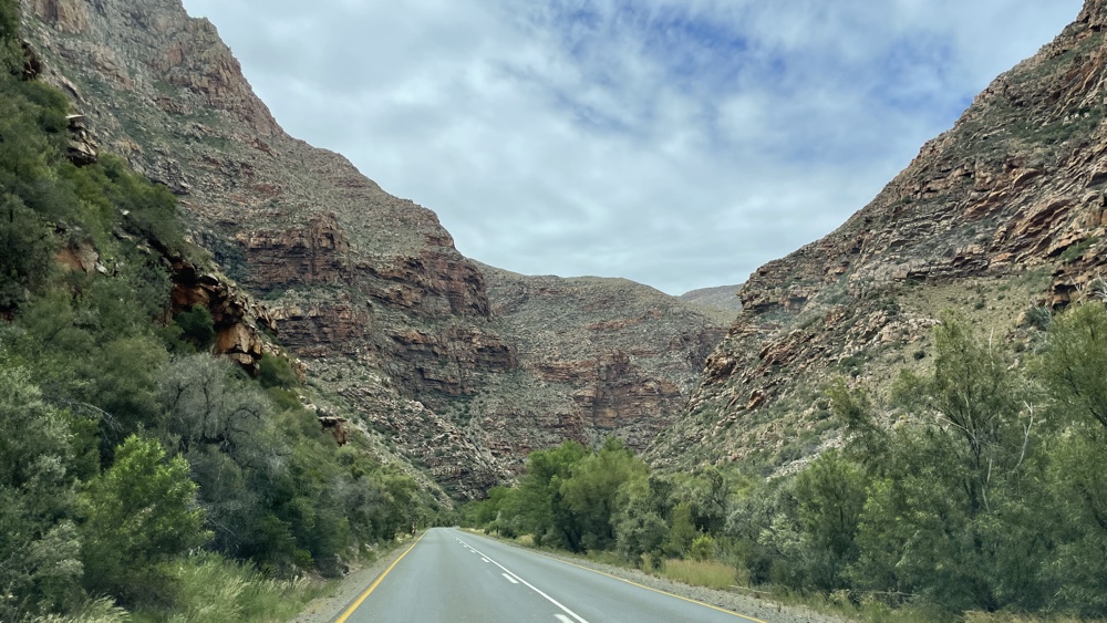
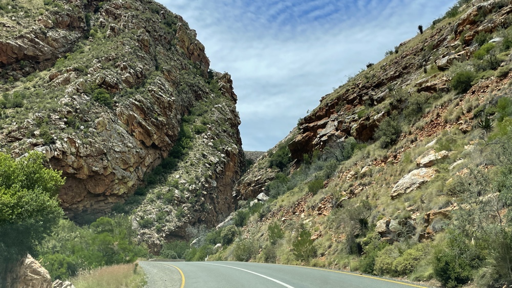
Meiringspoort
The poort is named after a local farmer from De Rust. He campaigned tirelessly for a road to be built through the poort to transport wool from the Karoo to the port of Mossel Bay. It was opened in 1858 but in 1885 the road was seriously damaged in a great flood and the inimitable pass guru, Thomas Bain, stepped in to upgrade the road. Since then it's been upgraded several times and is now an excellent tar road.
Extracts from Mountain Passes, South Africa:
The poort is jaw-dropping as it carves its way through the mighty Swartberg mountains. It crosses the river 25 times . Every bridge has its own unique name, mostly bestowed by the road builders from long ago. There are names like Eerste Drif (First Drift), Opmetings Drif (Surveyors Drift), Wasgat Drif (Washing Hole Drift), Bloupunt Drif (Blue Point Drift), Perdeboom Drif (Horse Tree Drift), Gerholms River, Derde Tol Drif (Third Toll Drift), Ontploffings Drif (Explosion Drift), and of course Waterval Drif (Waterfall Drift) - each with its own unique story and patch of history, some already lost in the mists of time.
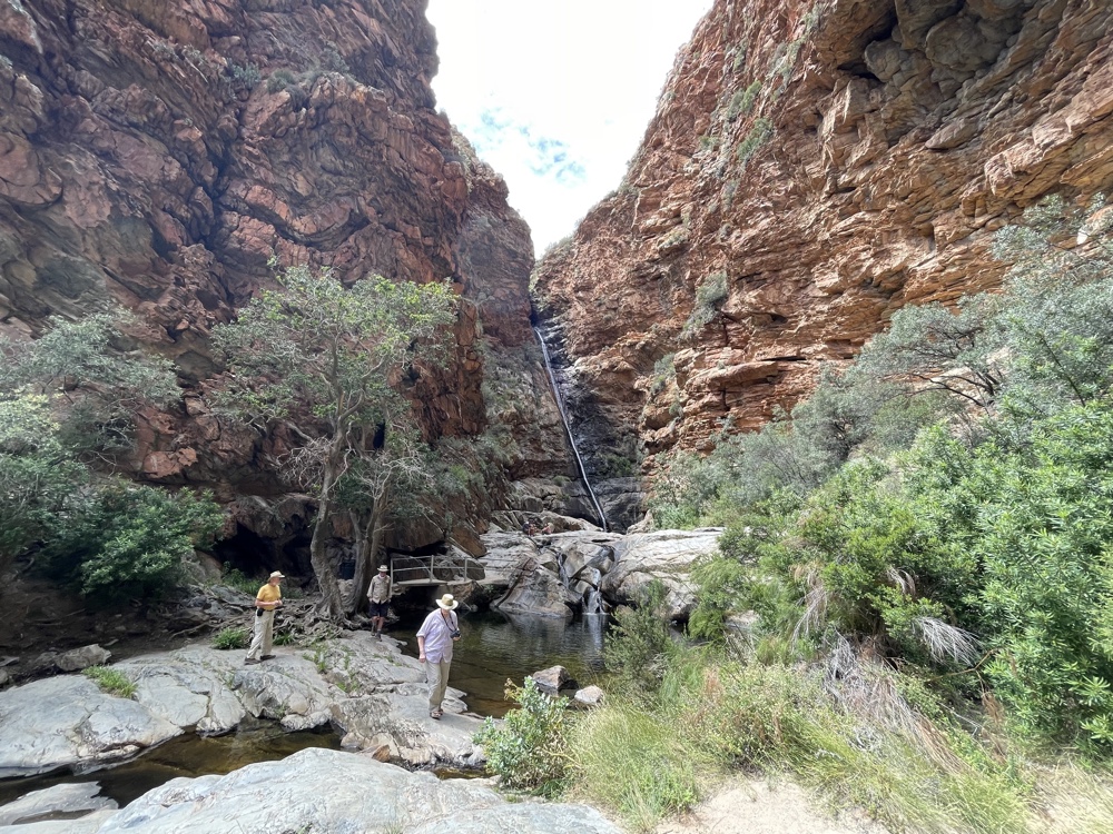
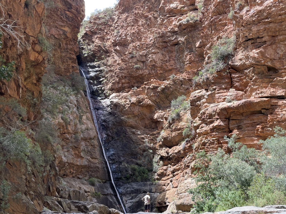
There are seveal places where you can stop. Half way through the Poort there's a car park with a very interesting Interpretive Centre and a walkway to a high waterfall and pools.
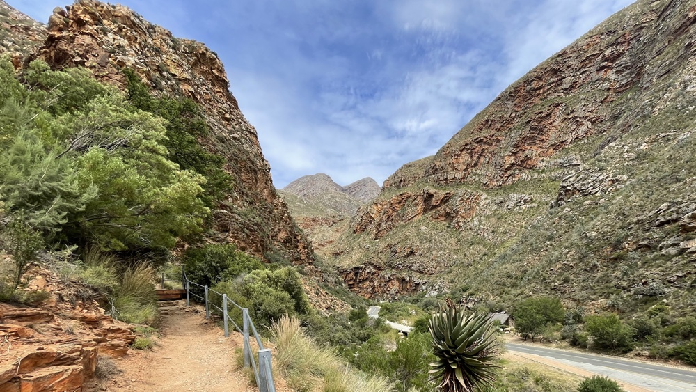
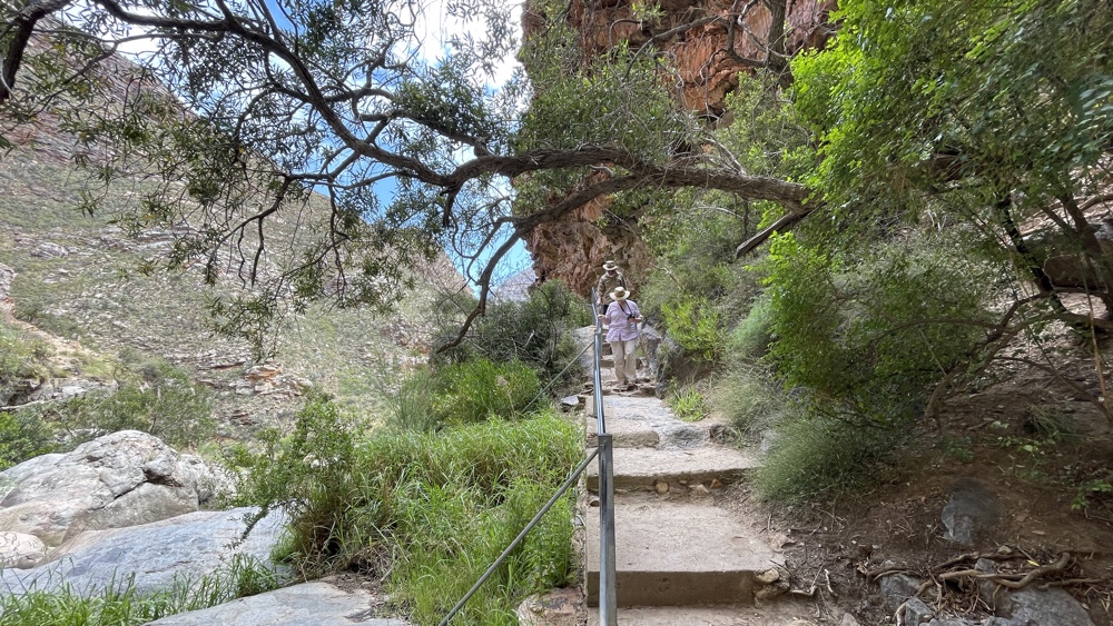
The waterfall tumbles over 13 metres down the rockface into a very deep pool and then into more pools as it makes its way down to the river at the bottom of the Poort.
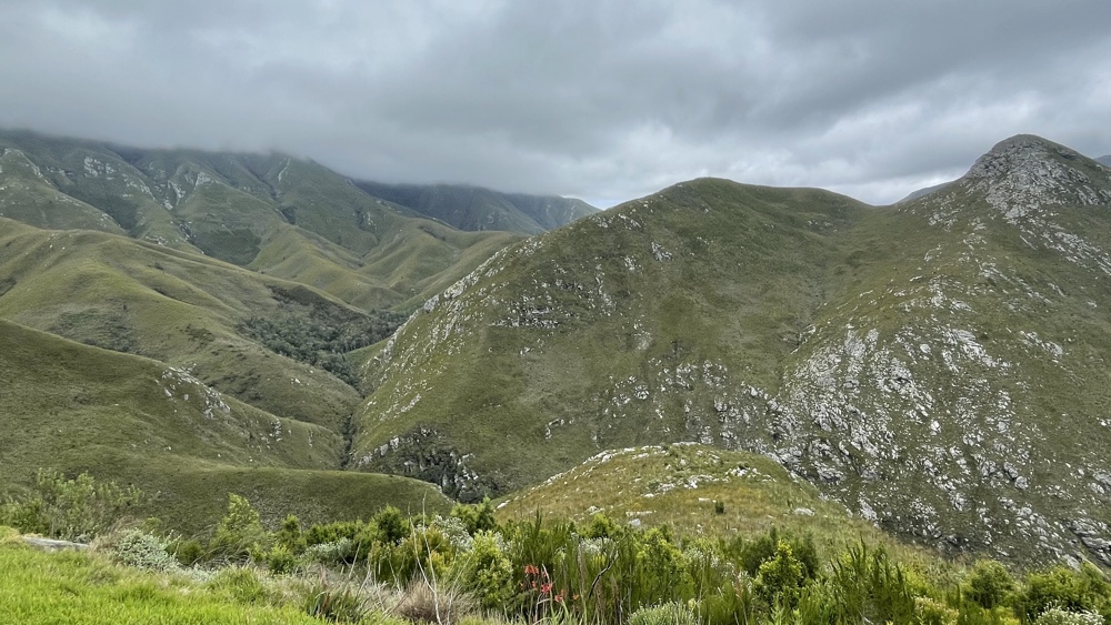
Outeniqua Pass
At the southern end of Meiringspoort is the small town of De Rust where we stopped for an excellent lunch. We then carried on through to Oudtshoorn and then down the Outeniqua Pass to George. It's a busy tar road with a lot of sharp bends but there area few places where you can park. You can easily see the Montague Pass on the opposite hillside - this was the original road and is still passable today.
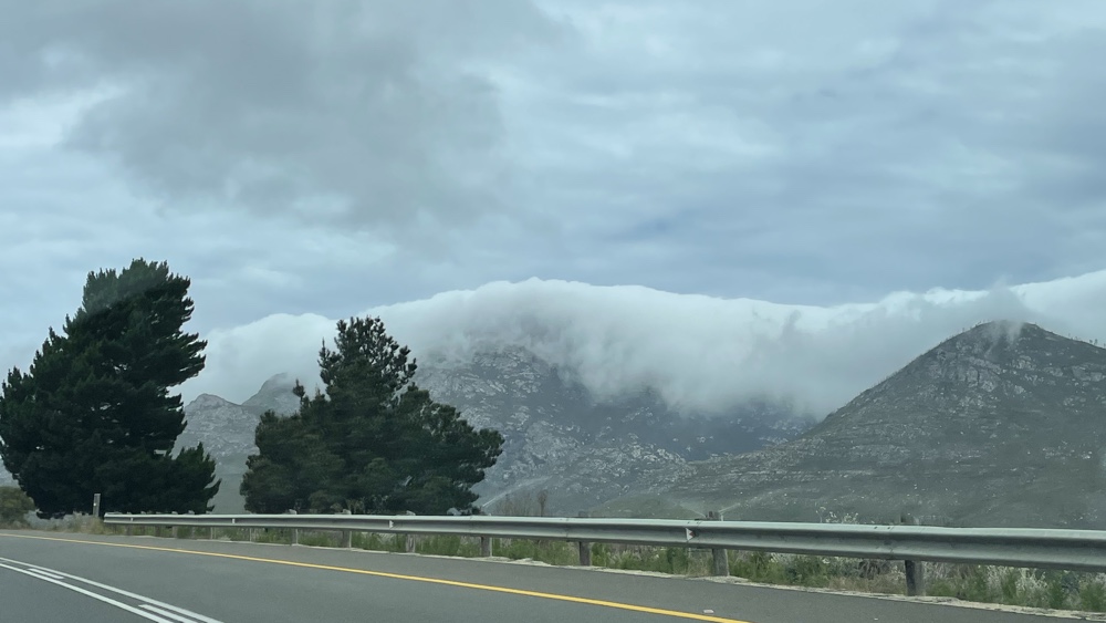
As we approached the mountains to the North of the Pass we could see that they were covered in cloud.
From the first parking area looking back towards the cloud covered mountains.
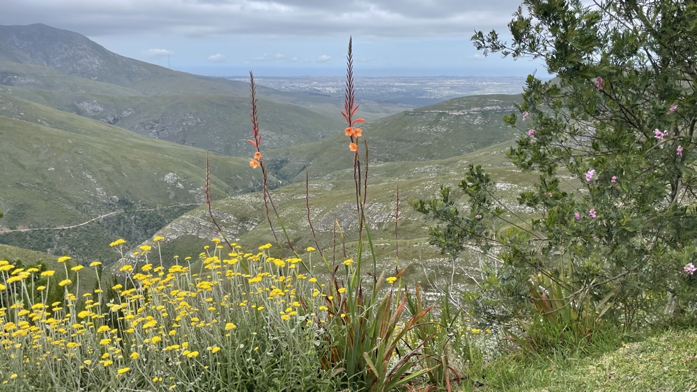
From a lower parking area we could see the town of George and the Indian Ocean in the distnce.
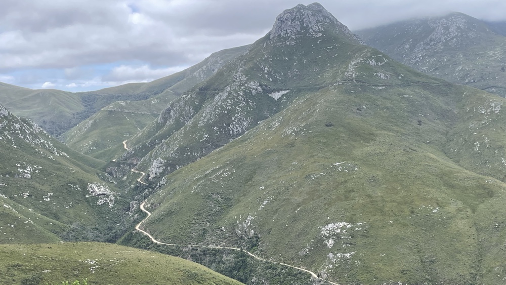
The gravel Montague Pass on the opposite hillside.
Last updated: May 2023